INTERNATIONAL TRAINING ON DIGITAL TOOLS FOR ENVIRONMENTAL IMPACT ASSESSMENT (EIA) AND STRATEGIC ENVIRONMENTAL ASSESSMENT (SEA)
COURSE BACKGROUND
Environmental Impact Assessment (EIA) and Strategic Environmental Assessment (SEA) are critical processes for ensuring that development projects, plans, and policies are environmentally sound and sustainable. However, these assessments are often complex, data-intensive, and require collaboration among multiple stakeholders. Traditional, manual approaches can be time-consuming, prone to errors, and limit the depth of analysis and stakeholder engagement. The advent of powerful digital tools, including Geographic Information Systems (GIS), remote sensing, environmental modeling software, and advanced data visualization platforms, offers unprecedented opportunities to streamline EIA/SEA processes, enhance data accuracy, improve predictive capabilities, and facilitate more transparent communication.
ECAS Institute offers this “Digital Tools for Environmental Impact Assessment (EIA) and Strategic Environmental Assessment (SEA)” course to equip environmental practitioners, planners, project managers, and regulatory authorities with the practical skills to leverage cutting-edge digital technologies for more efficient, robust, and impactful environmental assessments. This program will bridge the gap between theoretical EIA/SEA principles and their practical implementation using modern digital workflows.
COURSE OBJECTIVES OF THE TRAINING
Upon successful completion of this course, participants will be able to:
- Understand the role and benefits of digital tools across all stages of the EIA and SEA processes.
- Utilize GIS for spatial data management, analysis, and mapping in environmental assessments.
- Apply remote sensing techniques for baseline data collection and monitoring environmental changes.
- Employ environmental modeling software for predicting impacts on air, water, noise, and ecological systems.
- Use digital platforms for efficient data collection, management, and stakeholder collaboration in EIA/SEA.
- Create compelling digital visualizations and interactive reports to communicate assessment findings effectively.
- Evaluate the strengths and limitations of various digital tools in the context of EIA/SEA.
WHAT YOU WILL LEARN
This course will provide you with the practical skills and knowledge to significantly enhance your Environmental Impact Assessment (EIA) and Strategic Environmental Assessment (SEA) capabilities using modern digital tools. You will learn to:
- Strategically apply Geographic Information Systems (GIS) for site selection, baseline mapping, impact overlay, and cumulative effects assessment.
- Integrate remote sensing data (satellite imagery, drone data) to rapidly gather information on land cover, vegetation health, and environmental changes for your assessments.
- Utilize specialized environmental modeling software to predict and simulate impacts on air quality, water flow, noise levels, and ecological systems.
- Implement digital data collection methods (e.g., mobile apps, online surveys) for efficient field data gathering and management.
- Employ data management systems to organize, process, and analyze the vast amounts of information generated during EIA/SEA.
- Develop interactive maps, dashboards, and digital reports to present complex assessment findings clearly and engagingly to diverse stakeholders.
- Leverage cloud-based platforms for collaborative EIA/SEA projects, facilitating real-time data sharing and review.
- Understand the benefits and challenges of transitioning from traditional to digital EIA/SEA workflows.
DURATION AND PROGRAM
This is a structured training course combining conceptual understanding with hands-on application of various digital tools relevant to EIA and SEA. The program will feature practical exercises, software demonstrations, and case studies to ensure participants gain actionable skills. Participants are encouraged to bring their own project examples for discussion, where applicable. The detailed program schedule, including specific session timings and learning activities, will be communicated upon registration.
TARGET PARTICIPANTS
This course is specifically designed for professionals involved in environmental assessment, planning, and management. It is particularly beneficial for:
- EIA/SEA Practitioners and Consultants
- Environmental Managers and Officers in public and private sectors
- Urban and Regional Planners
- Project Managers overseeing development initiatives
- Regulatory Authority Staff responsible for reviewing EIAs/SEAs
- GIS Analysts and Remote Sensing Specialists in environmental fields
- Engineers and Scientists involved in environmental studies
- Academics and Students in environmental science, planning, and related disciplines.
TRAINING MODULES
The course is structured to guide participants through the digital transformation of EIA and SEA:
| No | Module | Details | |
| 1. | Introduction to Digital EIA/SEA |
This module provides an overview of the foundational concepts of EIA and SEA and introduces how digital tools are fundamentally changing these assessment processes. Topics:
| |
| 2. | Digital Data Collection and Management for EIA/SEA |
This module focuses on leveraging digital technologies for efficient and accurate collection, organization, and storage of environmental baseline data. Topics:
| |
| 3. | GIS and Remote Sensing for Spatial Analysis |
This module provides hands-on understanding of how Geographic Information Systems (GIS) and remote sensing are applied for spatial analysis and mapping in EIA/SEA. Topics:
| |
| 4. | Environmental Modeling and Prediction Tools |
This module covers the use of specialized software tools to predict and simulate the potential environmental impacts of projects and plans. Topics:
| |
5. | Digital Visualization and Communication of EIA/SEA Findings |
This module focuses on effectively communicating complex assessment findings to diverse audiences using advanced digital visualization techniques. Topics:
| |
| 6. | Integrated Digital EIA/SEA Platforms and Workflows |
This module explores how various digital tools can be integrated into cohesive platforms and optimized workflows for end-to-end EIA/SEA management. Topics:
| |
| 7. | Challenges, Innovations, and Future of Digital EIA/SEA |
This module addresses the current challenges in digital EIA/SEA and looks at emerging trends and innovations shaping the future of environmental assessment. Topics:
| |
TRAINING STYLE
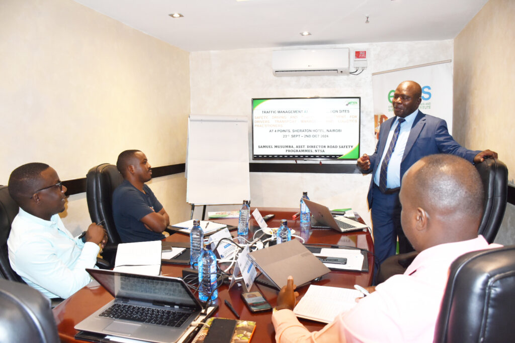
The modules will be taught through PowerPoint presentations, and lectures and will include a case study/field visit, breakout sessions, case studies and other interactive discussion components.
The course will also include a few guest speakers, both in person and via Zoom and other online learning platforms for overseas speakers. This provides useful real-world insights alongside the more theoretical aspects of the course.
The conference faculty shall consist of experienced decision makers, as well as practitioners and representatives from established educational and research institutions active around climate change, engineering and international development. Throughout the course, theoretical presentation of concepts will be moderated and more group discussions and plenary engagements will be optimized. PowerPoint presentations will be made by facilitators and resource persons, to highlight key concepts before embarking on group work.
GENERAL NOTES
- Training manuals and additional reference materials are provided to the participants.
- Upon successful completion of this course, participants will be issued with a certificate.
- We can also do this as a tailor-made course to meet organization-wide needs. Contact us to find out more: info@ecasiafrica.org.
- Payment should be sent to our bank account before the start of training and proof of payment sent to: info@ecasiafrica.org.
ABOUT ECAS INSTITUTE
The ECAS Institute designs and delivers independent and targeted training, research, and consulting services. Our work focusses on climate change and resilience building, carbon markets, renewable energy, nature-based solution, biodiversity conservation, agriculture and food systems, We are located in Nairobi Kenya and work across the African region. We have implemented training and research assignments in Kenya, Tanzania, Uganda, South Sudan, Somalia, Malawi, Rwanda, Congo, and South Africa. Globally, we have supported our partners from the UK, Denmark, Italy, Sweden, Germany, and USA.

